
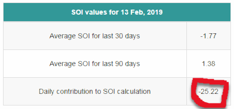
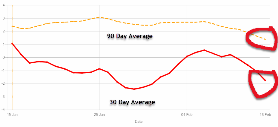
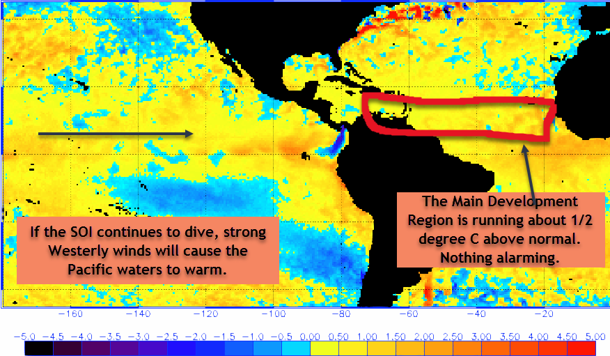
Good Wednesday all. Looking at today’s SOI index, it has taken a nose dive. What this means is that if the trend continues, Westerly trade winds will develop in the Pacific that will usher in warmer water to the ENSO regions. This is how an El Nino gets started. Will it happen? Nobody can predict it accurately, not even the models.
There has also been a lot of talk of the warmer then normal waters. This is true but only by about 1/2 degree C. This is actually nothing alarming and nothing like what we were looking at in 2017. In 2017, the Pacific waters were extremely cool and the SOI index was very high. Plus the Atlantic was way above average. All the signs were there in 2017. They are not for 2019. There are a lot of factors that could influence the upcoming hurricane season, none of which can be forecast out this early. If an early High pressure area forms and it is strong enough, the winds rotating around the High can actually cause up-welling that can cool the Atlantic waters down. That is essentially what happened last year.
In short, all the signs that were there in 2017 are not there this season as of now. If the SOI continues to dive and causes the Westerly’s to form in the Pacific, we could start leaning towards an El Nino. Like I said before, an El Nino is good for hurricanes but it can cause a lot of unusual weather across the globe. It has a positive but lots of negatives as well.