Florida Doppler Radar Loops |
The latest live Radar from locations throughout the state of Florida. Click on the appropriate tab to view
the latest loops. Loops will automatically refresh about every 60 seconds..The images from the server
will update according to the mode of operation. For example, a radar in clear
air mode will only update about once every 10 minutes while a radar in Storm
Mode will update about every 4 minutes. To ZOOM, Left click on the screen. Right
click will ZOOM OUT. To PAN the radar while zoomed in, LEFT click and hold.
See Watch Box Legend Below Radar. Radar Status Page. |
Radar Not up to date? Let Us Know!! |
LEFT CLICK to zoom in RIGHT CLICK to zoom out
RIGHT CLICK and HOLD to pan map |
Android Tablet Users Please Click Here To View Radar Images |
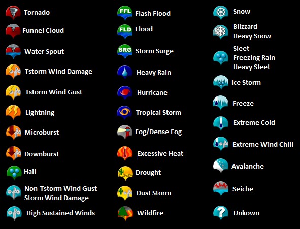
Watch Box Legend |
Tornado Watch |
PDS Tornado Watch |
Severe Thunderstorm Watch |
PDS Severe Thunderstorm Watch |
Tornado Warning |
Severe Thunderstorm Warning |
Flood/Flash Flood Warning |
Special Marine Warning |
51 Yellow Numbers: Temperature |
41 White Numbers: Dew Point |
Flood Advisory |
Small Craft Advisory |
Flash Flood Watch |
41 Orange Numbers: Wind Speed |
Lake Wind Advisory |
Freeze Watch |
Freeze Warning |
** Our radar now starts with the non-java NWS loops by default. To view our other excellent
radar loops, you will have to add us to your list of trusted sites in Java.
Java's new update blocks most Java scripts unless you add the site to your
list. We will soon introduce a Flash alternative. For now, Please add our 100%
safe site to your site list in your Java console. This will allow all our apps
incuding apps on all our satellite sites as well. Click here for the easy instructions. |
Lightning Data is from a 10 Minute Time Frame |
Radar System Status |
Severe Storm Report Legend |