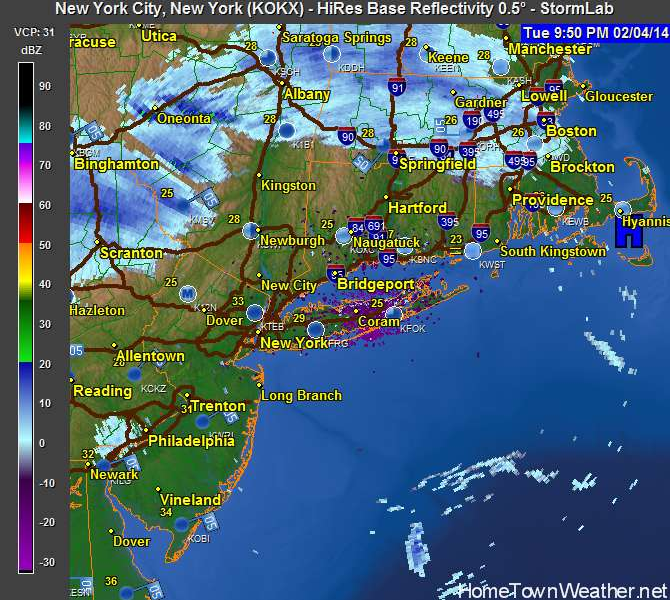
The combination of low pressure developing in the Mississippi Valley and low pressure off the Carolina coast will be monitored through the night to be sure the forecast and development are on track. The potential for a significant ice storm event is possible.
For starters, the precipitation will start as snow in most locations. However, the track of the surface low will shortwave aloft will will result in good SW flow which will warm the upper levels of the atmosphere. This warming will change the precipitation to a sleet and freezing rain mix. The expectation is for moderate to heavy precipitation.
There is a potential for significant accumulation of ice extending from NE New Jersey to the New York metro area and along Long Island. This will create a very hazardous commute on Wednesday morning.
Precipitation will taper off the second part of the day with some freezing drizzle lingering.
New York/New Jersey Radar and Forecast
http://www.joesdiscoweathercentral.com/New_York_and_Vicinity_Forecast.html

