
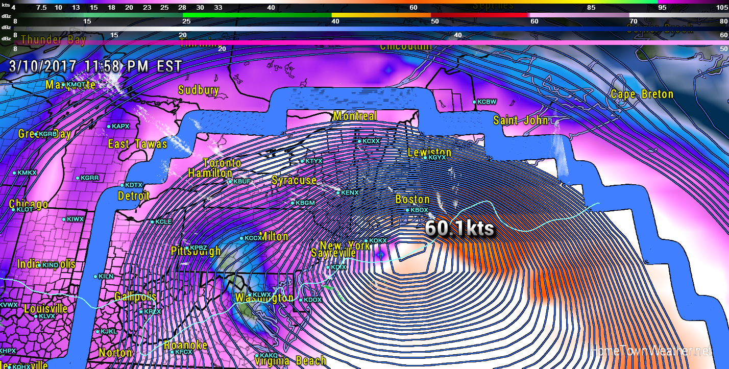
The potential for a major storm (Nor’Easter) to hit the Mid Atlantic and/or New England early next week is getting more likely. The latest GFS model shows a potent storm just off the New England coast on Tuesday. Note how close the isobars are clustered together as the system wraps up.
The Euro model shows a very similar scenario. If you live anywhere from the DC area through New England, you need to be paying attention to this developing weather situation. Start to stock your Winter Emergency Supply kit to be sure you are ready. Power outages are always possible with systems like this. *****The amount of snow and where the snow/rain line will be is still up in the air until a more definitive track is determined. With that said, the chance of the worst case scenario isbecoming more likely****.
New York/New Jersey Forecast and Radar
Massachusetts Radar and Forecast