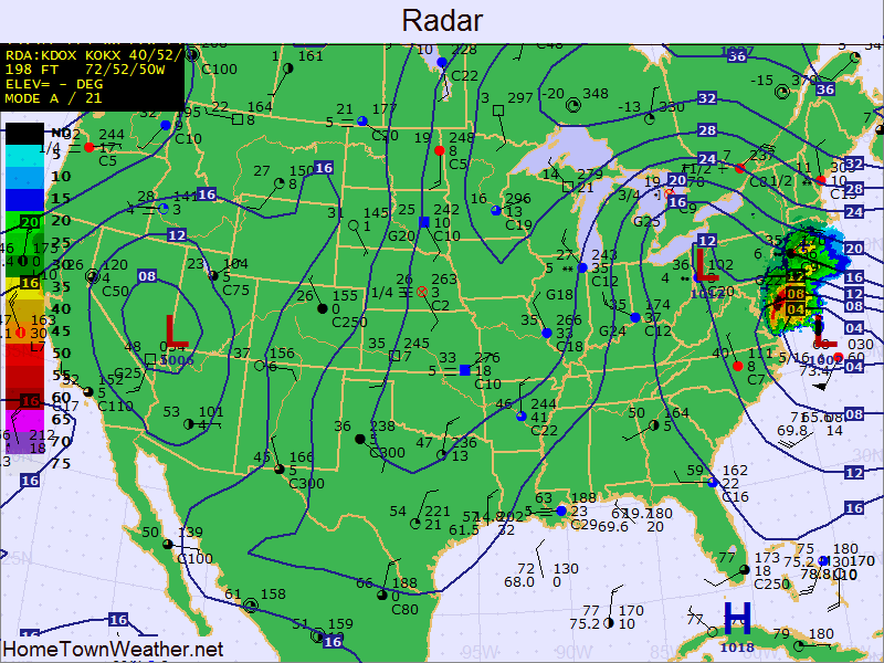
The very latest weather chart. Note the extreme low pressure in the area just off the coast. This is the main part of the storm. Also note the “Clipper” low just to the west of the main low. These 2 systems will meet to bring in Blizzard 2013.
A closer look at the latest forecast map…..
Note the low is now at 996 MB. Normal sea level is around 1018 MB or higher. we will see how the low deepens as the pressures drop throughout the day. The lower the pressure, the more intense the storm.
http://www.joesdiscoweathercentral.com/